
Martha Lake Previous Resident Sources
No single roll gives a full account of previous residents at a Martha Lake address. The current parcel card establishes the modern situs address, parcel number, legal description, and present owner. Recorded deeds then carry the ownership line backward. Other records fill the gaps between title events. Permits date work on the site, aerials show when a structure existed, and directories or census schedules may name people who lived there but did not own it.
| Address-history source | Known time span | Custodian | Evidence supplied |
|---|---|---|---|
| Recorded Documents online index | Most instruments from July 1976 onward | Snohomish County Auditor | Grantors, grantees, dates, instrument numbers, and legal descriptions |
| Pre-digital deeds | Before July 1976 | Auditor microfilm, deed books, and staff | Earlier conveyances and title links |
| Assessor, SCOPI, and aerials | Current fields; listed aerials from 2017 through 2024 | County Assessor and GIS | Parcel identity, current owner, structures, sales, and visible site change |
| County and regional directories | Listed runs from 1882 through 2008, with gaps | Washington State Library and Sno-Isle | Reported occupants, subscribers, addresses, and status notes |
| Federal and county census | Federal schedules public through 1950; county census for 1883 | National Archives, libraries, and State Archives | Households at a fixed census date |
| PDS permits and land-use files | Varies; some records are not online | County Planning and Development Services | Building, subdivision, drainage, and permit dates |
Start with county parcel and deed records even when the question concerns an older household. They provide the legal link needed when a number or postal city has shifted. Then choose the source closest to the period being tested. The research does not identify a complete Martha Lake reverse-directory run, so an absent name should be logged as a coverage gap rather than treated as proof that no one lived there.
Fix Martha Lake Resident Addresses
An insider step saves hours: compare the situs address, tax-mailing address, and legal description before searching past residents. The situs is the parcel's physical location. The mailing field is where tax mail goes, and it may point to an owner, estate, trust, or service address elsewhere. The legal description identifies the lot, block, tract, or metes-and-bounds land even after a street label changes.
Use the Snohomish County Assessor Property Search by parcel number or street address. Less street text can broaden a search, and a fully spelled street name is safer. Record the parcel number, subdivision or plat, nearby cross streets, and every address form shown. Martha Lake addresses may carry a Lynnwood postal label because the community is an unincorporated CDP. That mailing label does not move the parcel into a city.
- Situs address
- The physical property address attached to the parcel.
- Mailing address
- The place where the tax office sends correspondence.
- Legal description
- The land wording that preserves identity when road labels change.
Martha Lake Resident Deed Years
The Search Recorded Documents portal generally reaches back to July 1976. From March 2, 2026, a free account is required for online searching. It accepts a name, document type, recording number, date, parcel ID, book and page, or legal description. A name query is entered as last name followed by first name. Parcel searches use the first ten digits, while plats, surveys, and condominiums are often best found through legal-description mode.
The cutoff is not the end of the Martha Lake title trail. Earlier instruments remain on microfilm and in deed books, with office or staff-assisted access. The Auditor Recording Division also offers public terminals, walk-in help, telephone and email contact, mail service, and copy orders. Staff-assisted significant or older searches are listed at $8 per hour, but current charges should be checked before ordering. The office is in the Robert Drewel Building at 3000 Rockefeller Avenue in Everett, open weekdays from 9 a.m. to 5 p.m.
Here is the county's recorded-document search page used for the online part of the chain.
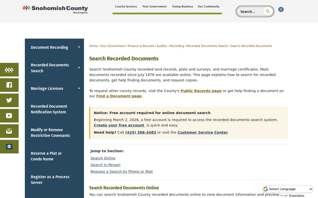
The capture marks the online entry point; any earlier gap belongs in the microfilm and staff-search column of the research log.
Note: An index hit locates an instrument, while a certified copy supplies the custodian's official seal and certification.
Trace Martha Lake Past Residents
The latest purchase deed supplies the first firm handoff. Its grantee received the interest, while its grantor conveyed it. Search the grantor next as a grantee to find that person's earlier acquisition. Keep the parcel and legal description beside each name because trusts, estates, spelling changes, and multi-parcel deals can make a name-only line drift away from the right property.
- Save the current owner, parcel number, and exact legal description from the Assessor card.
- Find that owner's purchase deed by combining party name, document type, date, and parcel clues.
- Read the seller's name, recording number, recording date, and matching legal description.
- Search that seller as a prior grantee, then repeat while the land description remains consistent.
- At the online boundary, continue through Auditor microfilm, deed books, public terminals, or staff help.
- Grantor and grantee
- The grantor gives an interest; the grantee receives it.
- Chain of title
- The linked series of recorded transfers for the same land.
- Parcel split
- A division that branches one older tract into two or more newer parcels.
Martha Lake Resident Parcel Splits
A changed legal description can signal a short plat, boundary-line adjustment, or parcel split rather than a bad match. Treat that event as a fork. Search the parent parcel and its former grantor, then follow each resulting lot by its new description. Plats and surveys in the Auditor index can supply lot and block language, while SCOPI shows the modern geometry.
County Planning and Development Services adds another route. Its files can include subdivisions, grading, drainage, shoreline work, plans, code material, and permits. Search the online subset by tax parcel, permit, or address. If the record is missing, submit the PDS information form by web, email, mail, or walk-in service. The county says inspection is free, while its request form lists paper copies at 15 cents per page, scans at 10 cents, and large drawings at $2. Staff aim to respond within five business days.
Note: A permit applicant may be an owner, builder, or designer, so the name does not prove occupancy.
Martha Lake Resident Permit Clues
Permits, tax records, and aerial images act as date brackets. A building permit can show that work was planned, inspected, or closed during a given period. A tax card can show the parcel account and assessed features at another point. SCOPI lists aerial layers from 2017, 2018, 2020, 2021, 2022, and 2024, which may show when a structure or site pattern changed. None of these proves a transfer or names every person in the home.
The local approach is especially useful because no official Martha Lake address-renumbering ledger was found. Compare road geometry, neighboring parcels, the plat name, old cross streets, and legal descriptions. If an old number fails, keep it in a missing-coverage log instead of forcing a match. The broader Martha Lake street directory explains how current parcels line up along a whole named street.
Sno-Isle Tests Martha Lake Residents
The Sno-Isle property-research guide gives a useful reality check. City directories often focus on a large city and nearby areas, so an unincorporated Martha Lake road may not appear. Search a household surname and the printed street form, then compare the entry with a deed, plat, or census record. The library system also offers local-history books, newspapers, photos, microform readers, HeritageHub obituaries, and in-library genealogy databases.
The library's house-research workflow is shown in the captured source below.
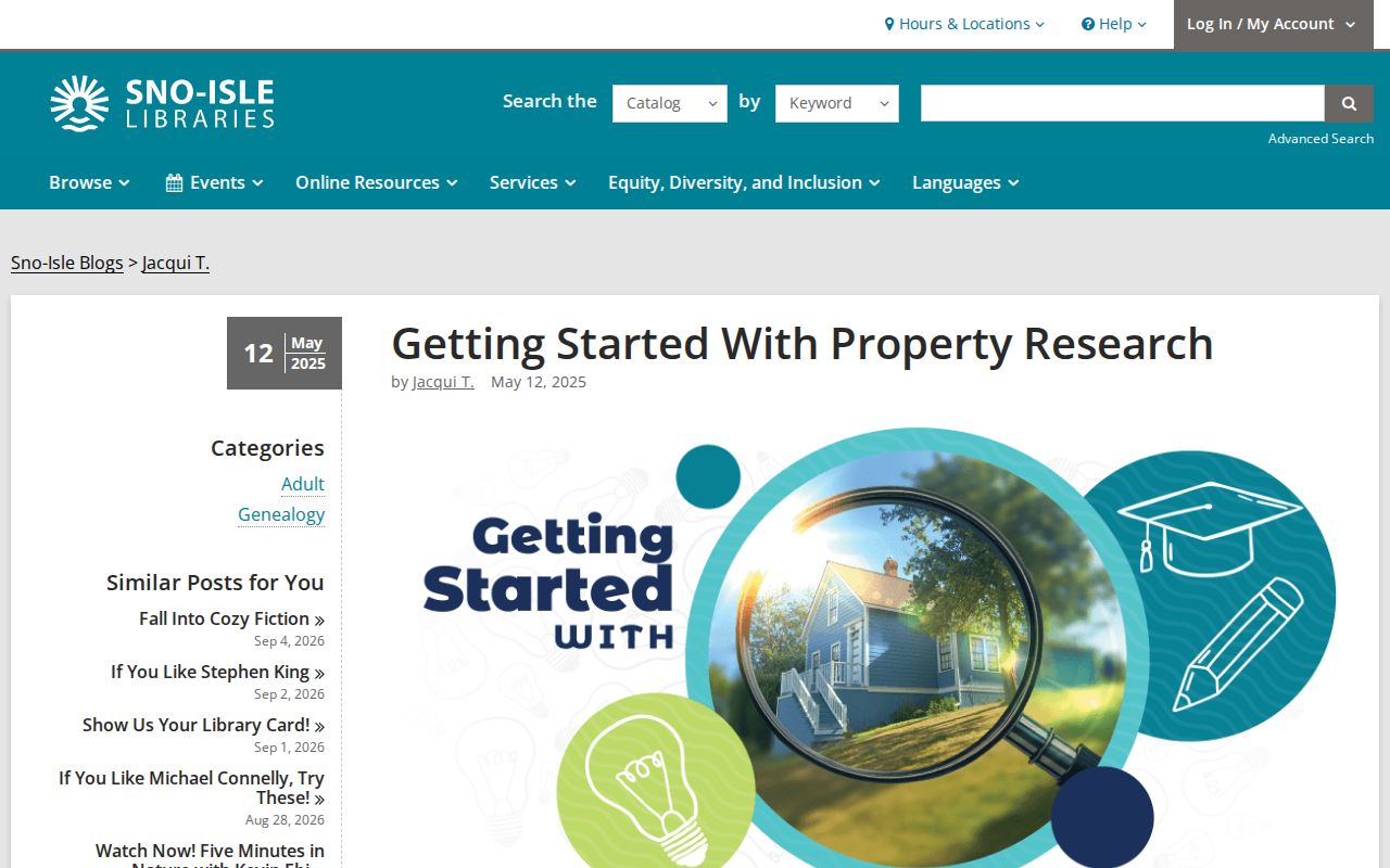
The page helps distinguish a reported directory occupant from a recorded deed owner, a key check when tracing previous residents.
Martha Lake Past Household Links
Ownership alone does not answer who lived here before. A directory may identify a reported occupant or phone subscriber, while a census can name a household present on one enumeration date. The Washington State Library lists Snohomish County directory runs from 1882 through 2005 with many gaps, plus Everett and Snohomish material extending through 2008. Coverage of a rural Martha Lake road is not guaranteed. The actual shelf years and entry conventions are covered in the Martha Lake city directory collections.
Pair the nearest directory years with a public census schedule. For example, test a directory name against the next census, allow for moves and the census date, and then return to the deed chain. Federal individual schedules are public through 1950 under the 72-year rule. Washington State Archives also holds an 1883 Snohomish County census that can supply household, birthplace, and occupation context.
- Choose a deed owner and the closest available directory year.
- Copy the printed address, name spelling, status marks, and page reference.
- Search the nearest public census and compare household names, ages, and place clues.
- Classify the match as occupant evidence, then keep title evidence in a separate column.
The Sno-Isle 1909 example uses h for home and b for boarder at a Snohomish address. It is a reading model, not proof that the named family lived in Martha Lake. This careful distinction matters because a boarder, spouse, child, or subscriber may never appear on a deed.
Lawful use. Research previous residents for house history, genealogy, and other lawful personal aims. Never use an address trail to track, intimidate, or harass a living person.
Martha Lake Resident Probate Endpoints
When an owner disappears from the deed chain, an obituary may supply a death date, relatives, or a later place. HeritageHub through Sno-Isle can locate notices, but the notice is still a lead. The Snohomish County Superior Court Clerk's probate and wills route can identify heirs, fiduciaries, residences, and property references once a will or estate proceeding becomes public.
A clean closing sequence is obituary to probate to deed. First record the name and date from the notice. Next locate the probate case and confirm the parties. Finally search the Auditor index for a deed, lien, or other instrument that reflects what happened to the parcel. Court indexes, office terminals, mail requests, and staff research are alternatives when a document is not online. A deposited will is sealed before death, and another person needs a valid reason plus court approval to view it. After death, a will filed with the court is public under the Clerk's stated process.
Martha Lake Resident Map Gaps
Sanborn fire-insurance sheets can show footprints, outbuildings, house numbers, and street names, but only where the road was mapped. The official Library of Congress Snohomish record identifies sheets for 1897 and 1905. Their municipal focus does not guarantee coverage of a rural Martha Lake parcel. Check the road first, and record an absence as a map limit rather than a missing house.
The same caution applies to online county land collections. The statewide Washington County Land Records collection for 1850 to 1954 does not list Snohomish County. County Auditor books, microfilm, State Archives indexes, and library sources remain the correct fallback chain for the earlier deed period. A continuous story should never be invented where the custody trail has a real break.